| T O P I C R E V I E W |
| James N. |
Posted - December 28 2012 : 1:27:46 PM
Image Insert:
53.46KB
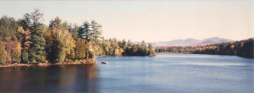
The huge semi-wilderness region of upstate New York known as The Adirondacks is larger than some of its neighboring New England states.
While working on Last of the Mohicans, I was at first baffled by the statements about locations in North Carolina, "It looks like upstate New York"; finally I came to realize that meant "like upstate New York used to look." Like many other areas, particularly those in the Northeast, this area was severely damaged by logging in the latter Nineteenth Century. Now healed, fortunately most of it is protected by Adirondack Forest Preserve State Park, the nation's largest. Technically, Lake George and places like Fort Ticonderoga and Lake George Village ( and therefore Fort William Henry ) fall within its boundries.
Image Insert:
54.11KB
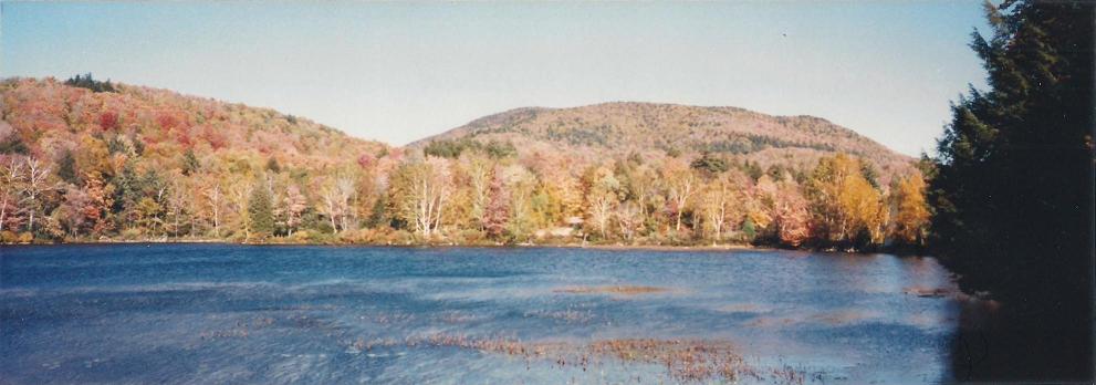
Mountains, woods and water - key Adirondack ingrediants!
This sprawling area is roughly bordered by Lake Champlain on the east; the Mohawk River Valley on the south; NY 12 from Utica to Watertown on the west; and US 11 from there back to I - 87 to the north. It is bisected by the latter Interstate and only a few NY State routes. In the winter, much of it is largely inaccessable. Oddly enough, in the Seventeenth and Eighteenth Centuries it was largely uninhabited; the province of the Iroquois, they mainly used the region for hunting and as a buffer between them and the French and their Huron allies to the north. They preferred the more open land of the valley of the Mohawk River for their "castles", probably because it was better-suited for subsistance farming and for ease of communication between the Five ( later Six ) Nations and their Dutch and English trading partners in Albany.
Image Insert:
37.51 KB
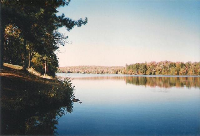
Appropriately named Indian Lake, one of many in a region dotted with them.
Image Insert:

87.23KB
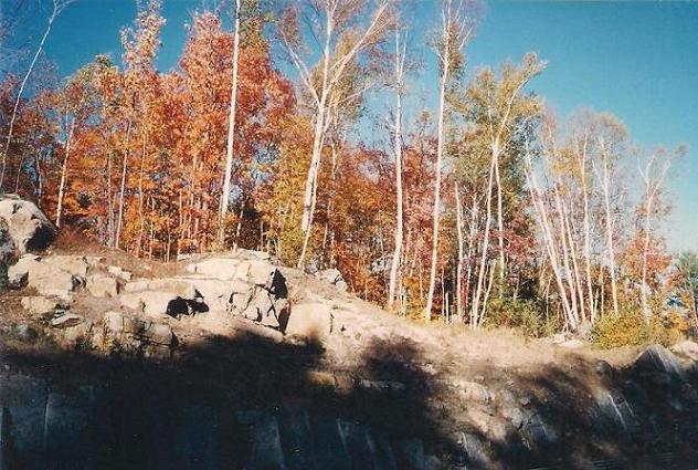
Above and below, birches along the roadside between Blue Mountain Lake and Lake Placid.
Image Insert:
74.47KB
Image Insert:
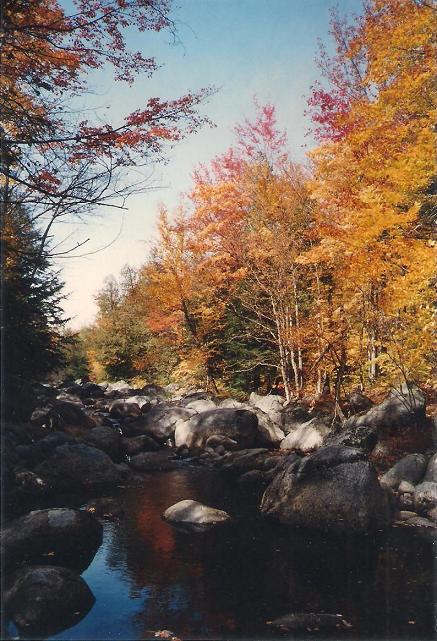
76.02KB
A short distance off the road along a stream bed.
Image Insert:
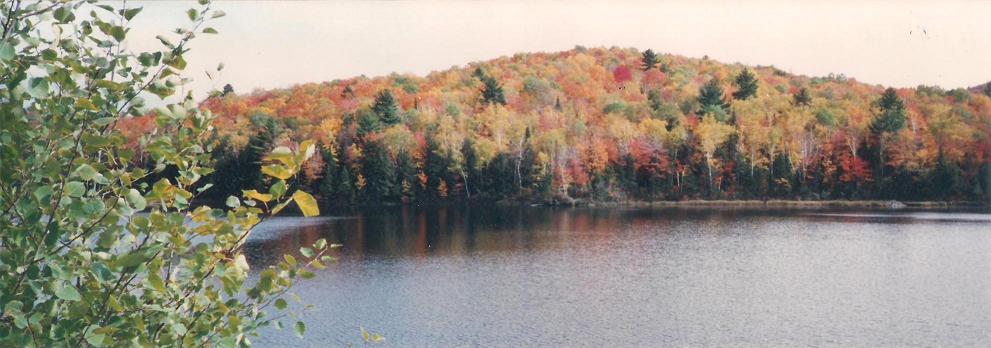
65.85KB
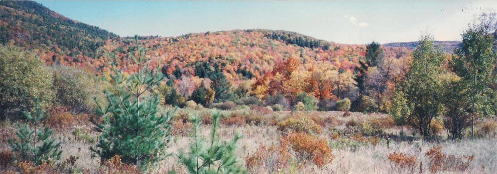
The colorful fall landscape reminded me of nothing so much as so many piles of red, yellow, and orange Kix and Trix ceral!
Image Insert:
84.24KB
|
| 2 L A T E S T R E P L I E S (Newest First) |
| Monadnock Guide |
Posted - December 30 2012 : 8:33:53 PM
"That is some of the most deserted country I have been through. Except that between Bangor and Calais in Maine"
.
There are probably spots up in Aroostook County Maine that no one has ever set foot on to this day. ... Miles & miles of trees and nothing else, - kinda nice actually. Towns so small that they don't have a name, - they have a number, and the state administers them. The hunting's pretty good too, ... It is still is a true wilderness, - not much of that left in the Northeast any longer.
.
Aroostook, named from a Native American word meaning Beautiful River is aptly nicknamed the The Crown of Maine partly because of its geographic location but more because of the breathtaking experiences that await you. Known by several different names, including, The Last Frontier of the East or by many Mainers as just The County, Northern Maine instills memories that not even time can fade.
Bordering the provinces of Quebec and New Brunswick, geographically it is the largest county east of the Mississippi and in fact is larger than the States of Rhode Island and Connecticut combined.
Our storybook towns, vast natural wonders, uniquely sophisticated cuisine, diverse cultures and a history that truly did help shape the United States of America are just some of the jewels to experience. |
| Fitzhugh Williams |
Posted - December 28 2012 : 2:41:02 PM
Beautiful! A few years ago I drove from Rome, NY to Ticonderoga. That is some of the most deserted country I have been through. Except that between Bangor and Calais in Maine.
|
|

![The Mohican Board! [Bumppo's Redux!] The Mohican Board! [Bumppo's Redux!]](images/wwwboard.gif)

